|
|
|
Chimborazo: The Highest Point on Earth! |
|
|
|
|
|
Chimborazo: The Highest Point on Earth! |
|
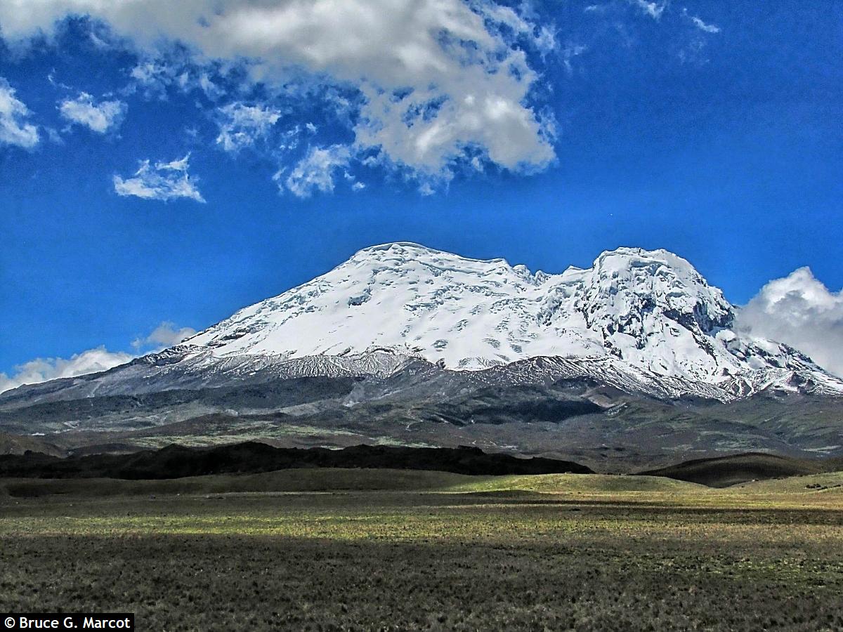
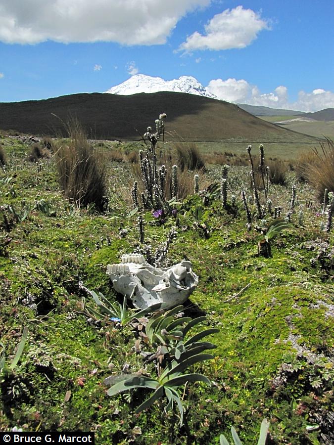
Mount Chimborazo |
Credit & Copyright: Dr. Bruce G.
Marcot
|
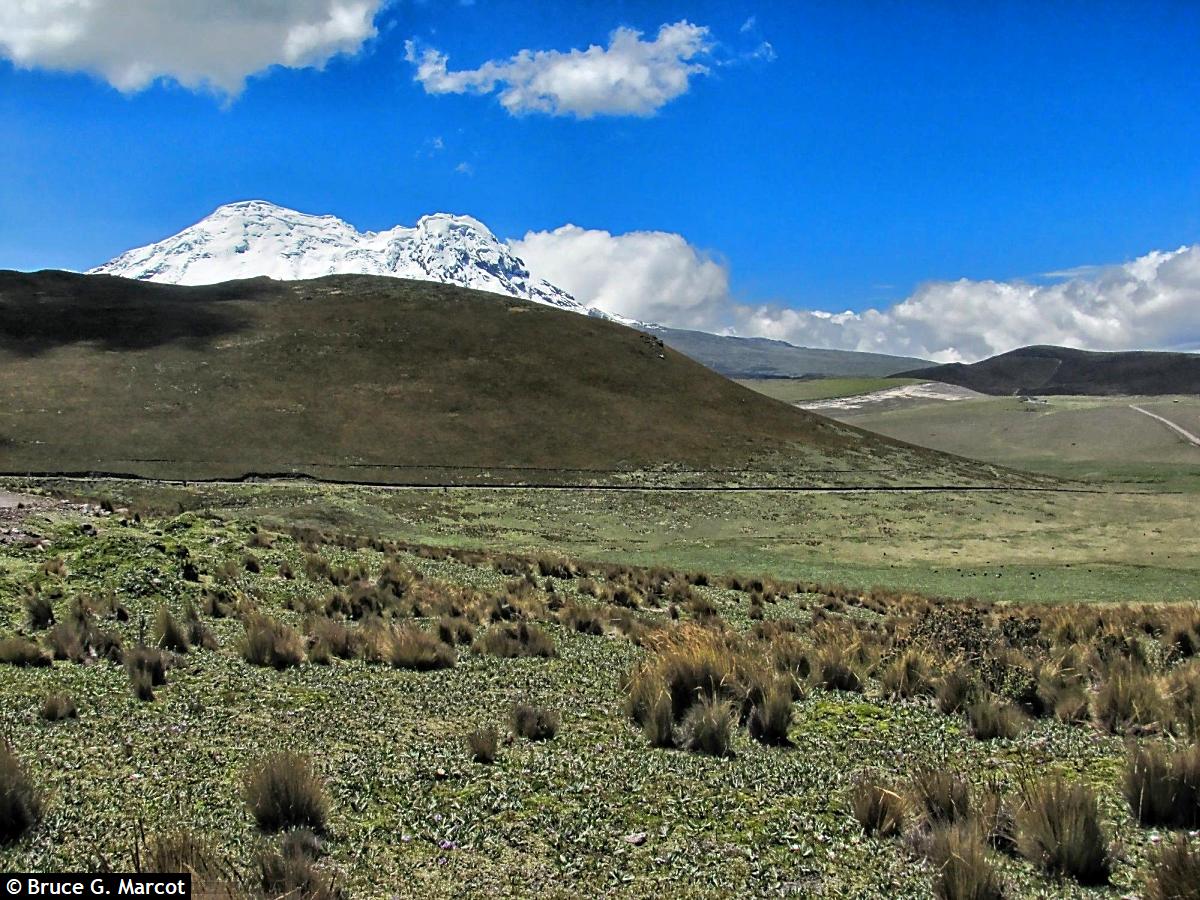
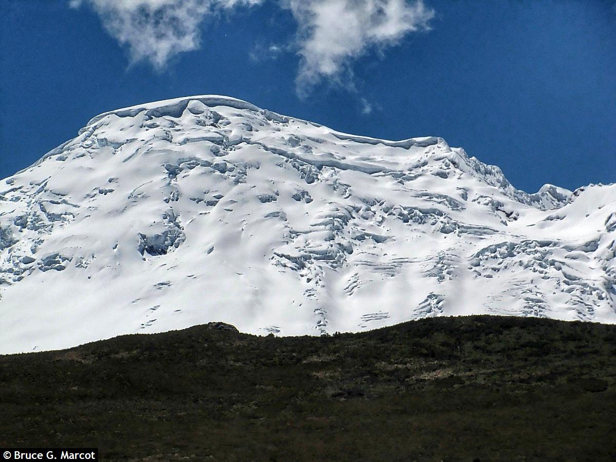
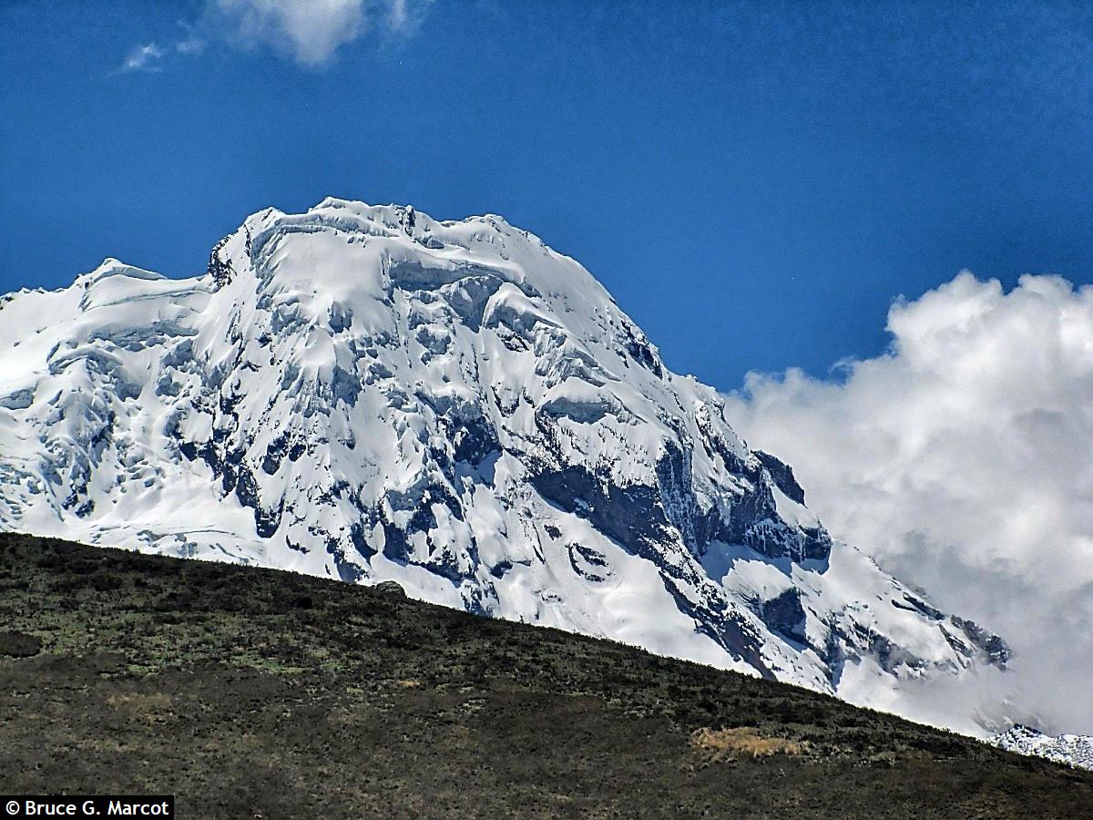
Explanation: While I was hiking in Reserva Ecologica Antisana, in Napo Province of central Ecuador, I reveled in the spectacle of Mount Chimborazo. This is a major volcanic peak of the Andes Mountains of South America. Its dense covering of ice fields and snow contrasted amazingly with the surrounding paramo grassland landscape of this tropical high-elevation treeless plateau.
And this is true because the Earth is not a true, perfect sphere, but rather what is called an "oblate spheroid." This shape is a sphere that bulges at the equator as the planet spins on its axis, with centrifugal forces causing swelling. The Earth's diameter is therefore greater measured at the equator than at the poles. The difference is minor, and not noticeable to the eye as viewed from space, but it is real. And since Chimborazo is located essentially at the equator -- actually at only 1.47 degrees south latitude -- it has a "head start," in a sense, to reach further into space than any similar peak located off the equator. So, as
measured from local sea levels, Mt.
Everest (29,032 ft or 8,849 m) is taller than Mount Chimborazo (20,548 ft
or 6,263 m), but Chimborazo
is higher as measured from Earth's center. Mount Chimborazo's main peak, clad in snow and hanging ice fields:
|
Next week's picture: A Gaggle
< Previous ... | Archive |
Index |
Location | Search | About EPOW | ... Next >
Google Earth locations
shows all EPOW locations;
must have Google Earth installed
Author & Webmaster: Dr. Bruce G. Marcot
Disclaimers and Legal Statements
Original material on Ecology Picture of the Week © Bruce G. Marcot unless denoted otherwise