|
|
|
Stories of Djerba Island |
|
|
|
|
|
Stories of Djerba Island |
|
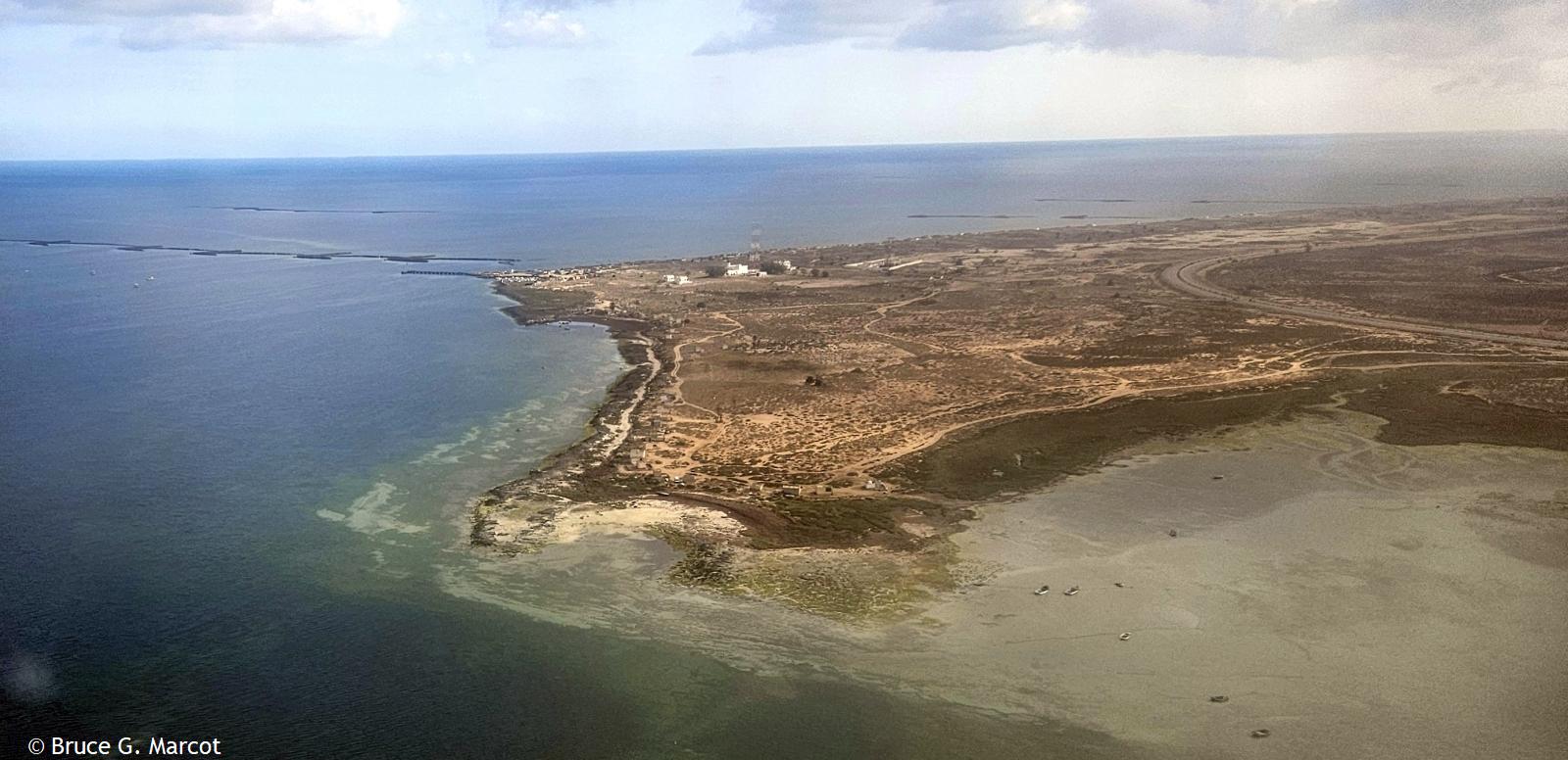
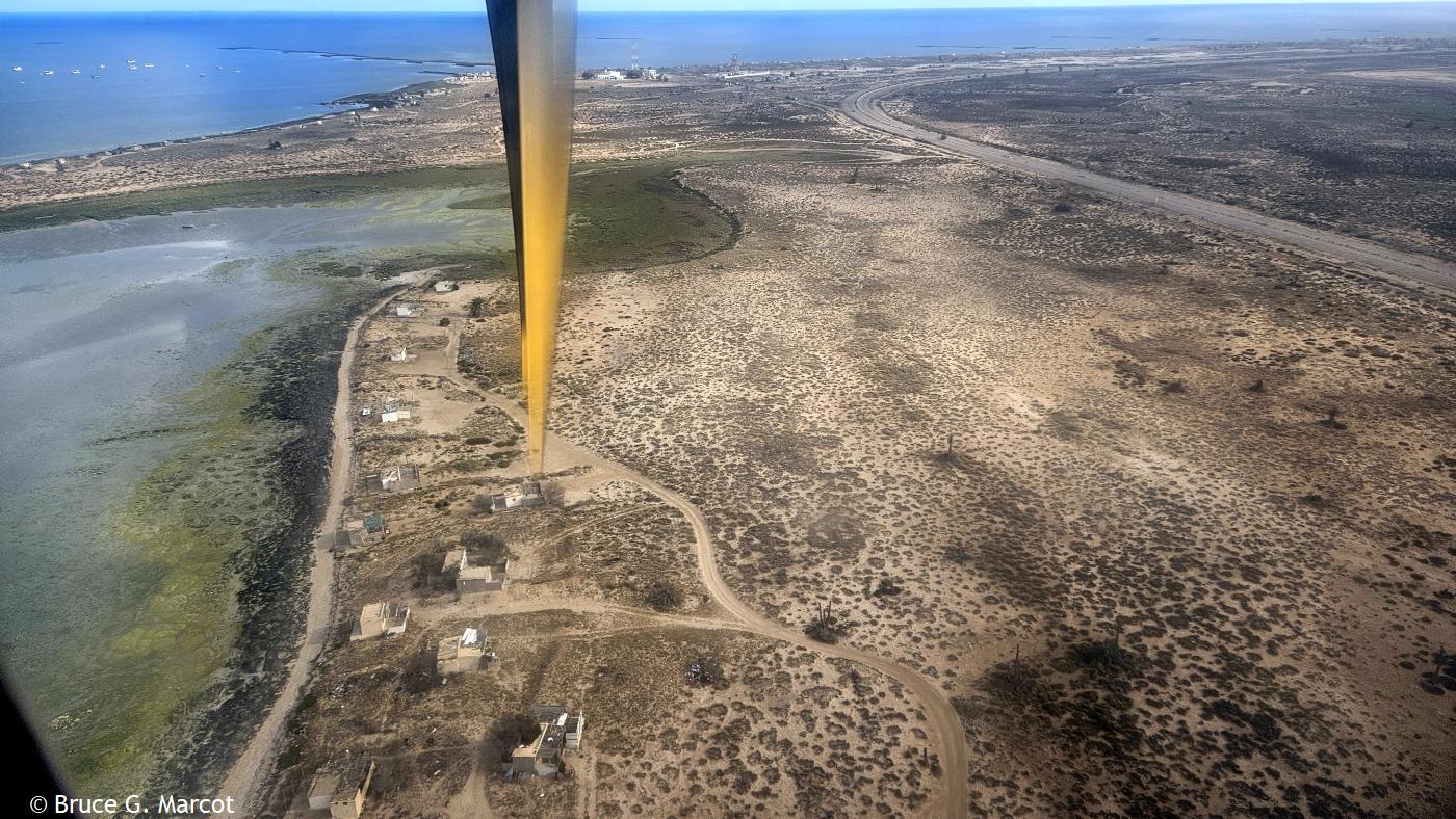
Djerba Island, Tunisia |
Credit & Copyright: Dr. Bruce G.
Marcot
|
Explanation: Ah, our flight down the coast from Tunis, the capital city of Tunisia in north Africa, is angling over a final approach. Here is the edge of Djerba Island (sometimes spelled Jerba), also part of Tunisia, that straddles the Gulf of Gabes on the side of the Mediterranean Sea, and the Boughrara Gulf on the more sheltered side of mainland Tunisia. Djerba island is remarkably flat, with an average elevation of only 23 ft (7 m) and the highest point only 157 ft (48 m) above sea level. But much has been learned, and can be learned, from this remote site. Djerba Island has been used for years as a key site for monitoring the impacts of environmental degradation such as from increased urbanization, the spread of palm, olive, and tree plantations, and land use changes, and climate change, and the impacts of all this, and more, on coastal erosion and flooding (Bijay et al. 2024). Other studies have tracked how the tourism boom on the island over the last 60 years has led to real and potential disappearances of some of the beaches. Results suggest that 63% of the northeast coastline has a high to very high vulnerability, whereas 37% of the southeast coastline has low to moderate vulnerability (Boussetta et al. 2023). Such studies can help guide planning and management of coastal environments to help thwart impacts of sea-level rise. Further work sampling microplastics on eight Djerba Island beaches found that they varied in type and density among the beaches, resulting from human activities of tourism, fishing, and urban runoff (Guesmi et al. 2025). The results suggest an urgent need for planning and instituting sustainable waste management on the island. And a
further reason for developing sustainable water and waste management on the
island, including addressing seasonal water shortages, is to conserve the
island's cultural heritage through a sustainable tourism industry (Ben Youssef
2024).
|
Next week's picture: Snow Fleas of the Soil
< Previous ... | Archive |
Index |
Location | Search | About EPOW | ... Next >
Google Earth locations
shows all EPOW locations;
must have Google Earth installed
Author & Webmaster: Dr. Bruce G. Marcot
Disclaimers and Legal Statements
Original material on Ecology Picture of the Week © Bruce G. Marcot unless denoted otherwise