|
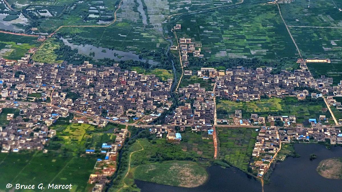
Explanation: Flying
southeast from Lijiang to Kunming, in the western portion of Yunnan Province,
south China, we spot a string of densely-packed island villages nestled in the
heart of deep green seas of agricultural fields. These are the broad
valleys of the Changgou and Yanggong Rivers. 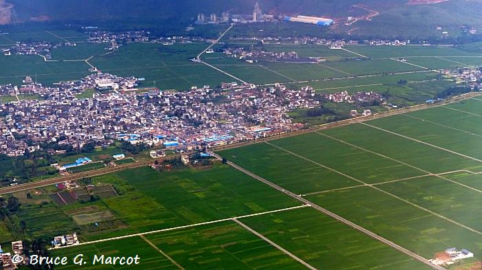
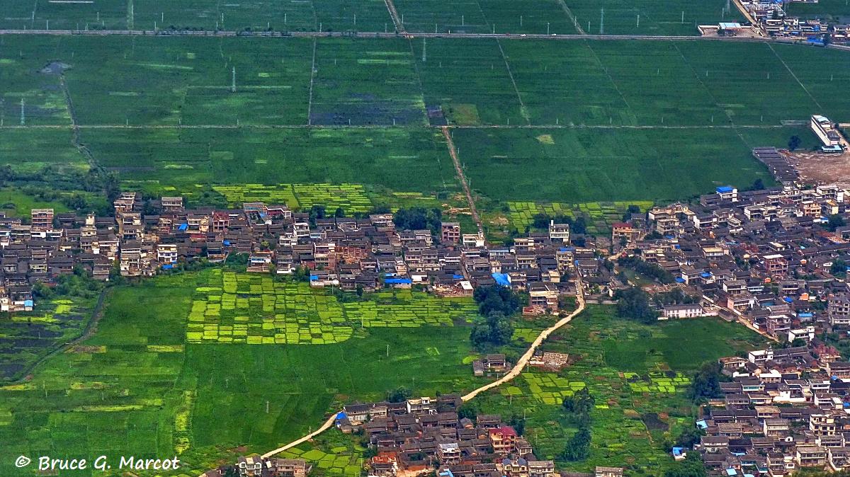
The village of Xindengcum, above, is one of a long
string of villages that cut the spine of these long river valleys.
These valleys, just southeast of Lijiang, are part of the region of China
where two major plateaus
converge: the Yunnan-Guizhou and the Qinghai-Tibet. The Yunnan-Guizhou
Plateau, situated in subtropical climes, rises to 1,000 to 2,000 meters (3300
to 6600 feet), with level valleys of deep soil. This plateau includes
the cities of Lijiang and Kunming. 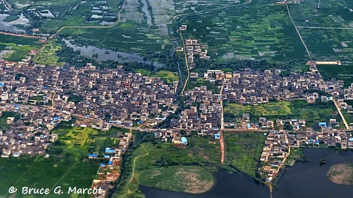
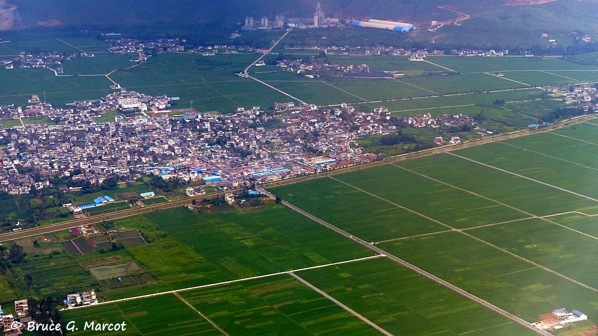
Here, the village of Banbei sits amidst
pools, ponds, wetlands, rice fields, and productive croplands.
Studies have shown that land use and land cover
have changed in the region drastically between 1974 and 2008, with a rapid
increase in developed areas near cities, whereas the agricultural land changed
little. Conflict among minority societies in the region have led to
degradation of traditions and cultural identities. Only recently with
the surge of tourism of the region have efforts been made to restore the
cultural diversity of the area.
Information:
Guo-jun, M. 2010. A summary of latest
three decades' ecnological changes in Yunnan-Guizhou Plateau -- on the
value of national local ecological-knowledge. Guizhou Ethnic Studies
2010-06.
Zhao, Y., K. Zhang, Y. Fu, and H. Zhang.
2012. Examining land-use/land-cover change in the Lake Dianchi
Watershed of the Yunnan-Guizhou Plateau of southwest China with remote
sensing and GIS techniques: 1974-2008. International Journal of
Environmental Research and Public Health 9(11):3843-3865.
|
Index |
Location | Search | About EPOW | ... Next >
Google Earth locations